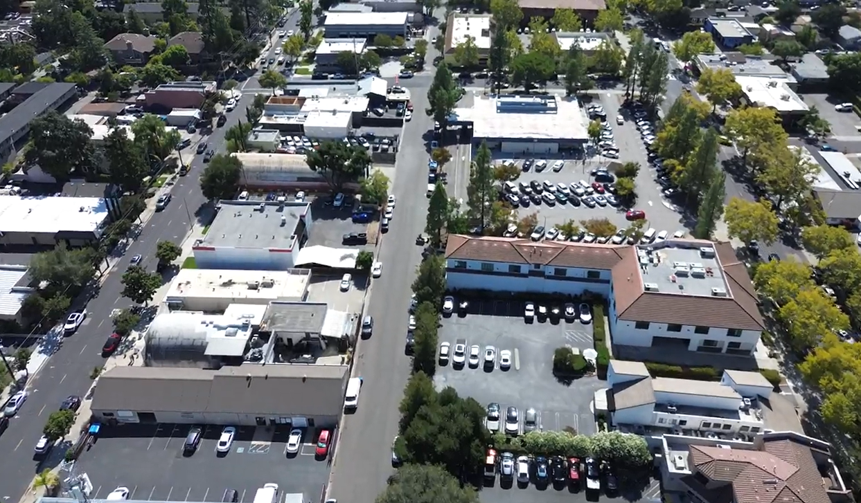
Last week, DIXON completed parking data collection in downtown Los Gatos using a mix of drone imagery, ground photography, and mobile license plate recognition (LPR) technology. The study covered both on- and off-street parking, capturing occupancy and turnover patterns to help the City better understand how parking is being used.
On Thursday, our drones captured clear aerial imagery to validate the LPR results and create compelling visuals for community outreach. By Saturday, however, high winds prevented safe drone flights. Rather than pause the effort, we adapted by capturing ground-level photography to supplement the mobile LPR data. While less dramatic than aerials, these images provided important context and ensured complete coverage.
This approach highlights the value of drawing from multiple sources. By combining LPR scans with both aerial and ground-level imagery, we created a more resilient and reliable dataset. Our next step is integrating the City’s own mobile LPR data, which will expand the coverage period even further.
The more days of data we capture, the more accurate and representative the results. Extended coverage accounts for natural day-to-day fluctuations and produces a truer picture of average occupancy and turnover. With diverse data sources and multiple days of collection, Los Gatos will be well-equipped to make informed, data-driven parking decisions that support its long-term goals.
Contact us today to explore how DIXON can help you achieve your goals with innovative, customized solutions.
.svg)
.svg)
