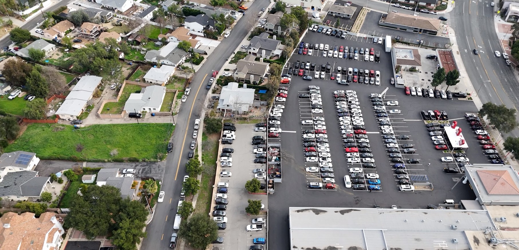
When site conditions align and city policy allows, drone-based data collection is one of our most effective tools, and Thousand Oaks was a strong fit. Favorable weather and clear site conditions allowed the DIXON team to efficiently capture high-resolution aerial parking data across the study area.
Our FAA-certified pilot conducted multiple drone flights per day on both weekdays and weekends, documenting both on-street and off-street parking utilization and capturing how demand changes throughout the day.
The collected imagery will be processed through the DIXON Data Suite® to support parking utilization analysis for the study area. Drone-based collection enables efficient coverage, minimizes field disruption, and produces clear, intuitive outputs for city staff and stakeholders.
As the study moves into the analysis phase, these results will provide a detailed foundation for understanding how parking is used across the city at different times and under varying conditions. By pairing aerial data collection with targeted analysis, this effort helps translate real-world activity into insights that can meaningfully inform planning, operations, and future decision-making in Thousand Oaks.
Contact us today to explore how DIXON can help you achieve your goals with innovative, customized solutions.
.svg)
.svg)
